Pacific Aerial Surveys
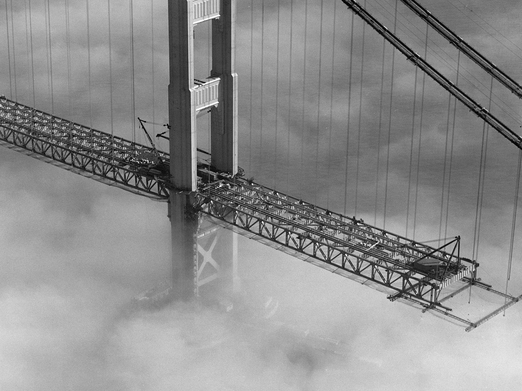
Pacific Aerial Surveys, an Alan Kropp & Associates company, provides a full range of aerial imagery services and products from the largest and most complete collection of California historical aerial imagery dating back to 1928. Our experts will help you with your projects providing experience and expertise that include:
- Historical Imagery
- Prints
- Enlargements
- Digital Files
- Mapping
- Custom Flights
- LiDAR
- Expert Witness Services
Price List – Please view our latest price list for imagery services:
January 2025 Prices


